 NimbleMap
 Pro
Free to look. Pro to ask.
The free app lets you open, overlay, style and share map data. NimbleMap Pro adds an assistant you can ask about your layers in plain words. Pro is free with an account: sign in inside the app to unlock it. It comes in the next version.
Free
Free download
- Opens CSV, Excel, GeoJSON, Shapefile, GeoPackage, KML, GPX, GeoTIFF and NetCDF
- Click anything to see its information and how it compares with other features
- Colour by a value, filter, compare and label
- Join a spreadsheet to places using a shared column
- Time slider for climate grids
- Light, dark and satellite basemaps; works offline
- Supports China's map coordinates (GCJ-02, BD-09)
- Exports map images and data
Pro PRO
Free with an account · everything in Free, plus:
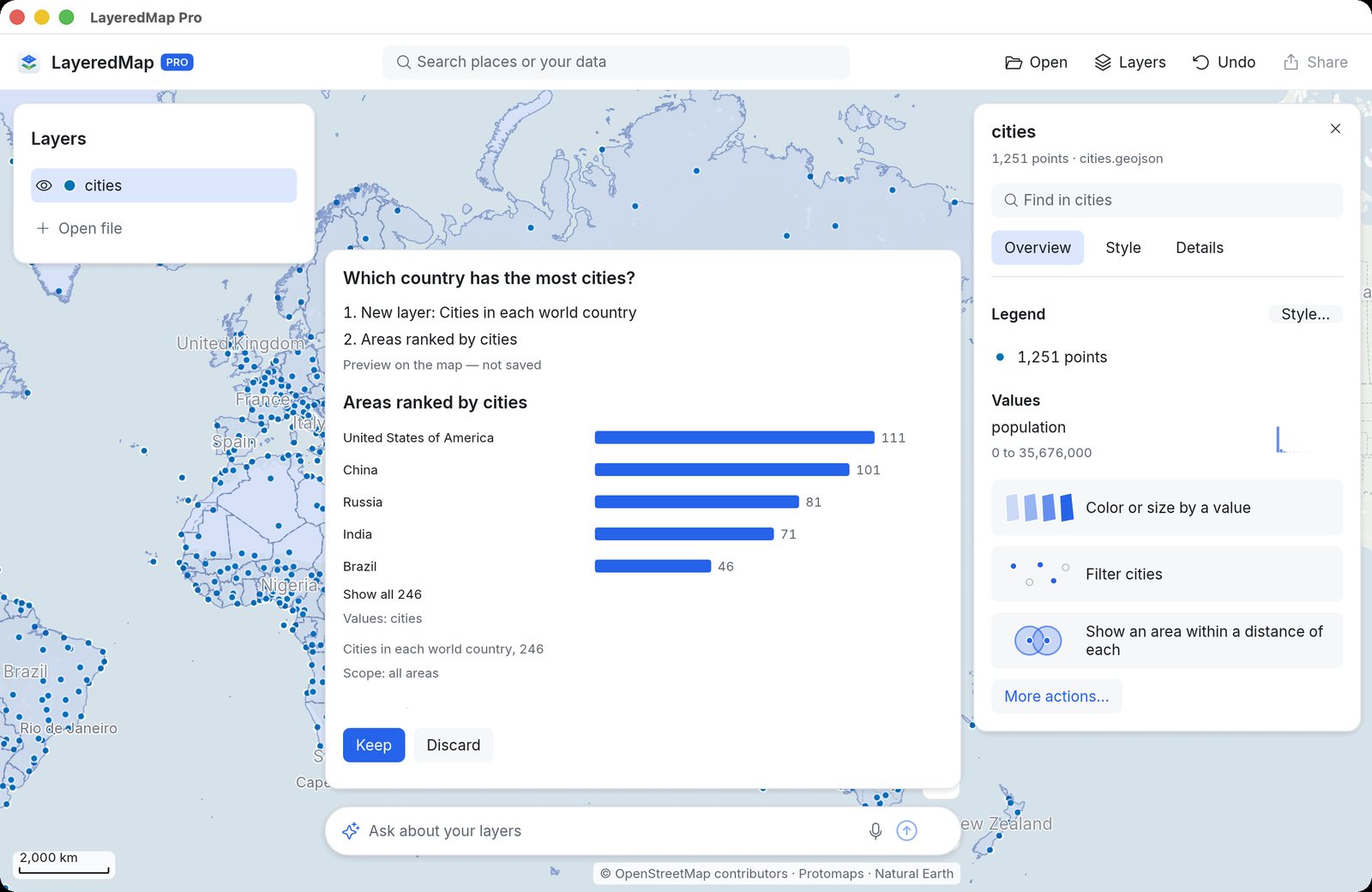
- The Ask box: ask questions about your layers in English or Chinese, by typing or speaking
- See answers as previews on the map, with a step-by-step record you can check. No guessing.
- Built-in world layers: countries, provinces, cities, rivers, lakes and elevation. Ask questions such as “Which country has the most power plants?”
- Analysis buttons appear on cards when relevant, such as “Show an area within a distance”
- Your data stays on your Mac. Only layer names, fields and extents are sent, never the values.
Which capital city sits highest above sea level?
When can I use it?
Pro comes in the next version of NimbleMap. When it arrives, sign in inside the app and Pro unlocks: no subscription and no separate download. Until then, everything under Free is in the app today.